| Card n. | Description | Locality | Linked sites |
| 47 | Santa Croce lake - Rai - Piave hydraulic system | Farra d’Alpago, Puos, Pieve e Ponte nelle Alpi | 141 - 91 |
| file .pdf | Industrial Archaeology (AI) | Google maps | 74 - 33 |
 |
 |
 |
- Description
- How to get there
- Interesting facts
- Bibliography
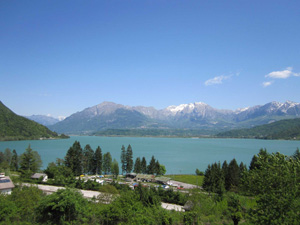
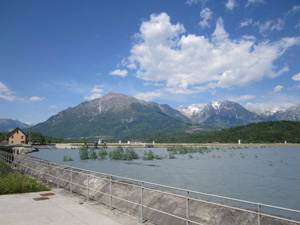
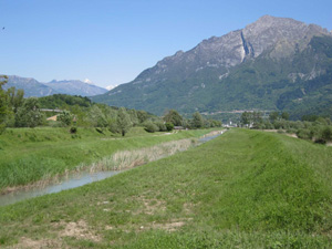
In the Santa Croce lake area there is a complex system of artificial channels serving the hydroelectric plants and used to control the level of the waters. The Rai channel, an effluent of the lake, was dug out in 1770 in order to allow for timber from the Alpago area to be floated down to the Piave, and today guarantees the hydraulic stability of the system, by absorbing the excess water when the reservoir is full. The channel is 7 km long, running from the ENEL weir at La Secca until the Piave at Cadola. The 10-km-long Cellina influent channel was created in 1913 by the Società Idroelettrica Veneta hydroelectric company, and takes part of the waters of the Piave – taken off at Soverzene, through a route that runs partly underground and partly on the surface – into the nearby lake at Bastia. The water from Santa Croce lake then descends towards the Val Lapisina, where it provides energy to the power plants of Fadalto, Nove and San Floriano, after which it is discharged into the Morto, Restello and Negrisiola lakes. From here, the system of channels continues towards Cappella Maggiore and Sacile and, after it has been used to produce electricity, the water is channelled into the Livenza, with part of it returning to the Piave at Colfosco.
The Rai channel is visible along the A27 in the direction of Belluno, on the last stretch of the motorway, but it is possible to walk almost the full length of it along the banks. The Cellina channel can be followed on foot or by bicycle, along an attractive route that runs between Santa Croce Lake and Soverzene (starting at the Soverzene power station – see file no. 33).
ACCESSIBLE: yes
MUNICIPALITY: Farra d’Alpago, Puos, Pieve and Ponte nelle Alpi
PLACE: Farra d’Alpago, Puos, Pieve and Ponte nelle Alpi
GEOGRAPHICAL COORDINATES: X 1756485 – Y 5113959
PROVINCE: Belluno
FILE COMPILED BY: Bonato
The main resource of the Alpago was the timber from the Cansiglio Plateau (91 NS/ES): the fir wood came down along the Piave, while the beech wood for the oars headed for the Livenza. The timber was taken down to the valley bottom by hand, on carts, or using the risine (74 ES), which were constructed using tree trunks, arranged in such a way as to form a sort of sliding pipe down which trunks could be transported downstream. The slide was supported at the sides by poles planted into the ground, and was bathed with water before being used. In the Cadore and in Friuli, the risine or lisse were normally made in wood, but in 1836, in an area of the Cansiglio forest in Friuli, a stone version was used, more common in a number of the valleys in the Trentino area. In Alpago, the timber was transported down into the Runal valley to Buscole, upstream from Farra, before being loaded onto carts and transported to Santa Croce lake and from there towards La Secca and the port of Cadola on the Piave. The Cansiglio area, with its characteristic karst terrain, has no internal bodies of water as such, but it is interesting to note the phenomenon of the lame, i.e. the dolinas, clogged up with detritus and silt, which have become impermeable, thus forming permanent stagnant pools where the local wildlife and cattle can drink from.
Various Authors, Le dighe e le centrali idroelettriche del bacino del Piave, Pavan Editore, Treviso, 2001
A. Lazzarini, La trasformazione di un bosco. Il Cansiglio, Venezia e i nuovi usi del legno (secoli XVIII-XIX), ISBREC, 2000
A. Collazuol, D. Da Vià, Puos d’Alpago. Aspetti di storia minore, Municipality and Pro Loco of Puos d’Alpago, 1994
G. Caniato, La via del fiume dalle Dolomiti a Venezia, Cierre, Verona 1993
Various Authors, L’Alpago raccontato da Umberto Trame. Un popolo una civiltà un territorio, Nuovi Sentieri, Belluno, 1984

